The city at street level, always up to date.
Zinkis builds a precise 3D digital twin of the city at eye level and keeps it updated with every pass, using the cameras the city already runs.
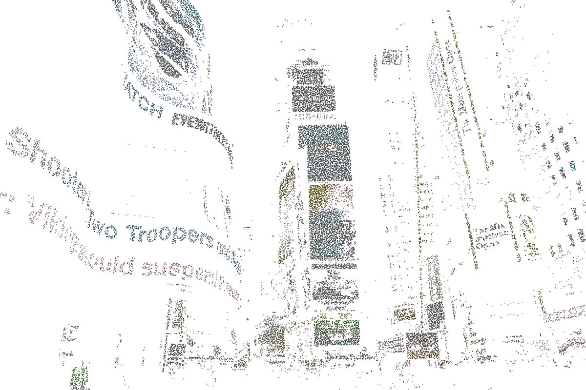
Maps show the city from above. Decisions happen at street level.
Public administrations already have tools for the view from above. What they lack is the layer where people walk, updated often enough to plan on.
Street imagery that ages
Street-view imagery covers much of the world, but it records the past. A street captured years ago stays that way, even after the pavements have been rebuilt.
Technical models that fall behind
Municipal GIS and BIM models are precise but costly to update. They are built as technical maps, not as places you can explore.
Surveys that are rarely repeated
Professional surveys need dedicated campaigns and expensive equipment. They cover one district once, and the model starts ageing the next day.
Every camera becomes a scanner.
A city already has countless cameras watching the same streets every day. Zinkis turns their overlapping views into geometry, and every new pass makes the model more precise.
Initial survey
A single drone and radar survey, combined with existing maps and satellite data, sets the baseline: facades, elevations, roofs and street sections.
Fixed cameras
The public and private camera networks already in place. Each additional view of the same street is another survey pass, and the reconstruction sharpens on its own.
Vehicles on the move
Buses, trams, civil protection and maintenance fleets already carry cameras and cross the city every day. They capture it on their regular routes.
Coverage nodes
Where no camera reaches, a low-cost node fills the gap. It costs about as much as a street light fitting, which is why an entire city can be covered.
One continuous model
Captures from every source converge into a single geometry. Each surface records its source and date, so teams always know how current it is.
AI where no camera reaches
A generative model completes the geometry that was never captured, based on the surrounding context. Those areas stay clearly flagged, so every measurement is transparent.
Privacy built into the architecture.
Using a city's cameras raises a legitimate question, and it is the first one public bodies ask. Zinkis answers with its architecture: anonymisation happens on site, before anything travels over the network.
Raw footage stays where it is
Footage remains inside the infrastructure of whoever produces it: the municipality for its cameras, the transport operator for its fleet.
Anonymised on the device
Faces, licence plates and anything that could identify a person are removed on local nodes, before any data is transmitted.
Only geometry travels
Reconstruction servers receive surfaces and volumes, data that is no longer personal. Customer records and models are hosted in Switzerland.
One model for every question a city asks.
The geometry stays the same. Each question adds its own simulation on top.
Flooding
How a street floods during a cloudburst, with water depth calculated on the real shape of the road, centimetre by centimetre.
Heat
How a heatwave spreads between buildings and which streets warm up fastest, taking shade and materials into account.
Air quality
How pollutants disperse along the real geometry of streets and with the prevailing wind. An urban canyon behaves differently from an open boulevard.
Networks and events
Sewer, power and gas networks in the same model, so works are planned knowing what lies below. Escape routes and crowd flows, tested before the square fills up.
Your data, in one model.
Zinkis brings together what your systems already produce, from mapping and weather to hydraulics and underground networks, on top of geometry that stays current.
Data from the systems you already use
- GIS systems
- Weather platforms
- Hydraulic models
- BIM data
- Civil protection
- Urban planning
Zinkis combines it into a single model
- Initial survey
- Fixed cameras
- Vehicles on the move
- Coverage nodes
Geometry captured across the city every day
Frequently asked questions.
What does it cost to cover a city?
Far less than a traditional survey, because continuous capture relies on cameras and vehicles the city already runs. Where coverage is missing, a low-cost node is added. The main upfront cost is the initial survey, carried out once.
Is an initial survey required?
Yes, once. A drone and radar survey provides the baseline geometry at the right resolution. From then on, cameras and vehicles keep the model updated with every pass.
How accurate is a reconstruction made with cameras?
Accuracy grows with the number of views of the same surface and how different they are. Many ordinary captures from different angles and on different days tighten the measurement more than a single high-end capture.
How is personal data protected?
The body operating the cameras remains the controller of its own footage, which never leaves its infrastructure. Zinkis receives only anonymised geometry, which Protocol-Z handles as a processor under Article 28 of the GDPR. The privacy policy describes each role in detail.
Where is the data processed?
On the organisation's own devices and nodes. Anonymisation happens at the edge of the network before any transmission, and only surfaces and volumes reach the reconstruction servers. Customer records and models are hosted in Switzerland.
Does Zinkis integrate with the software we already use?
Yes. Zinkis provides the geometric layer and works alongside GIS systems, weather platforms, hydraulic models and BIM data. Integration terms are defined for each project in a written agreement.
How does Zinkis use artificial intelligence?
Computer vision models reconstruct geometry from the footage and anonymise people and vehicles on site. A generative model completes the areas no camera has reached, and those areas remain flagged in the model. The Protocol-Z visor marks every place on this site where AI does the work.
Which languages is the site available in?
English, Italian, German, Spanish, French, Arabic, Hindi and Bengali, with Arabic displayed right to left.
Contact us.
Tell us what your organisation needs to decide. We will show you how Zinkis applies to your city and what a pilot on part of it would involve.
- Municipalities and regional authorities testing interventions before they are built
- Civil protection and emergency services planning on real urban fabric
- Urban planning and architecture firms working within existing contexts
- Urban climate research centres that need street-level detail
Our team replies personally within a few business days. info@protocol-z.com